GNSS Satellite Example
- Go to the GNSS satellite example code from the RAK5860 repository.
- Copy and paste the code to Arduino IDE, and click upload.
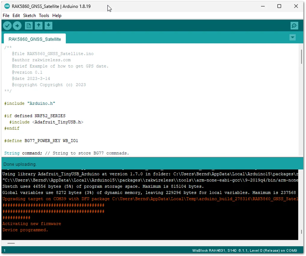 Figure 1: GNSS Example Code
warning
BG77 is based on a cost-optimized architecture in which WWAN (LTE Cat-M1, LTE Cat-NB2, and GSM) and GNSS Rx chains share certain hardware blocks. As a result, the modules do not support the concurrent operation of WWAN and GNSS.
- The process will turn on the GNSS and Acquire Positioning Information and Query Satellite System as shown in the example. It should be able to obtain the latitude and longitude during the 30 s ~ 2 mins on power up. Open the
Serial Terminalof Arduino from the Tools tab to see the output data/coordinates.
NOTE
If there are no coordinates data shown, make sure that you are exposed to a clear sky. You can also double-check that the antenna connector is properly attached to the module.
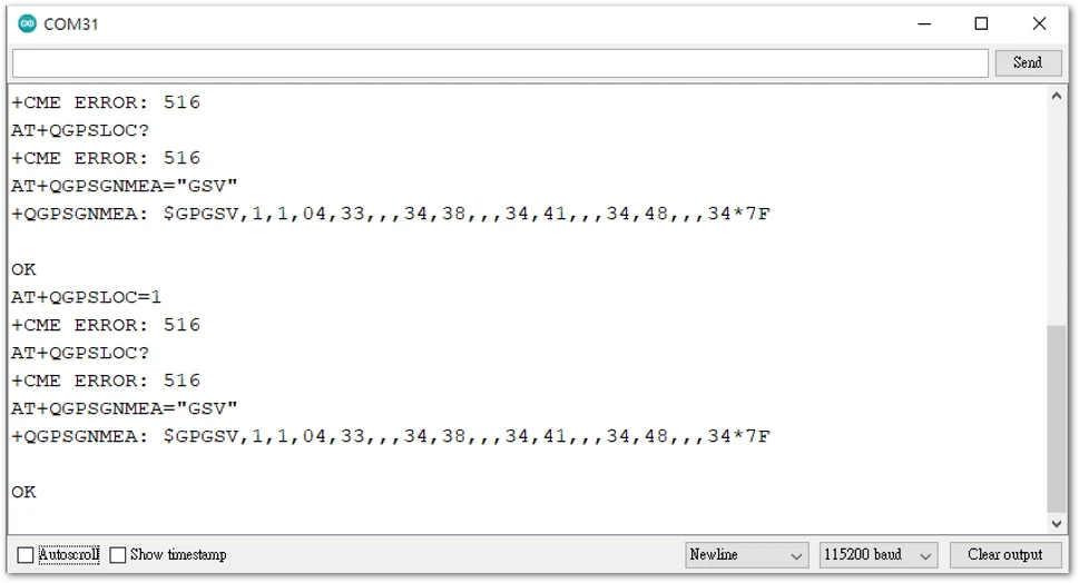 Figure 1: Serial Terminal output waiting for coordinates


